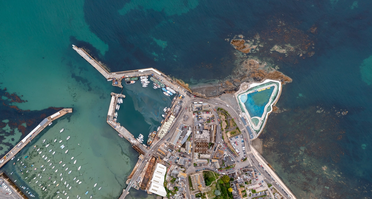
How Is AI Enhancing Satellite Image Analysis?
AI algorithms have empowered analysts to sift through vast amounts of satellite data swiftly and accurately. By leveraging machine learning models, AI can detect patterns, identify objects, and even predict changes over time with incredible precision. This capability goes beyond human capacity, enabling a deeper understanding of environmental changes, urban development, agriculture trends, and more.
One of the key advantages of AI in satellite image analysis is its ability to automate processes that were once labor-intensive. Tasks such as land cover classification, disaster response mapping, and infrastructure monitoring can now be performed efficiently, allowing experts to focus on higher-level analysis and decision-making.
Imagine AI as a supercharged magnifying glass, honing in on intricate details within satellite images that might escape the human eye. It’s like having a skilled assistant who not only spots anomalies but also learns from each observation, continuously improving its accuracy and reliability.
Moreover, AI-driven analysis is not just about speed and accuracy; it’s about scalability and accessibility. With AI tools becoming more user-friendly, researchers, governments, and businesses worldwide can harness the power of satellite imagery without needing specialized expertise in remote sensing.
As AI continues to evolve, so too will its impact on satellite image analysis. The future promises even more sophisticated algorithms capable of real-time monitoring, predictive modeling, and comprehensive environmental assessments—all from the vantage point of satellites orbiting high above Earth.
AI isn’t just enhancing satellite image analysis; it’s reshaping our understanding of the world from above, ushering in a new era of insights and possibilities.
AI Revolutionizes Satellite Image Analysis: Unveiling Hidden Insights
Imagine a world where satellite images aren’t just pictures from space but gateways to unlocking hidden mysteries. Thanks to Artificial Intelligence (AI), this futuristic concept is now a reality, revolutionizing how we analyze satellite images. From predicting crop yields to monitoring deforestation, AI has brought a seismic shift in how we understand our planet.
Traditionally, analyzing satellite images was a painstaking task, requiring experts to manually sift through vast amounts of data. This process was not only time-consuming but also prone to human error. Enter AI, the game-changer that processes these images at lightning speed, spotting patterns and anomalies that human eyes might miss.
But how does AI accomplish this feat? Think of AI as a supercharged detective with an eye for detail. Using advanced algorithms, it scans satellite images pixel by pixel, identifying changes in terrain, vegetation, and even infrastructure. This ability to detect subtle changes over time enables scientists to track environmental changes, urban development, and natural disasters with unprecedented accuracy.
Moreover, AI doesn’t stop at just identifying changes—it goes a step further by predicting future trends. By analyzing historical data alongside real-time satellite images, AI can forecast phenomena like urban sprawl or agricultural trends, empowering governments and businesses to make informed decisions.
The implications of AI in satellite image analysis are profound. It’s like having a crystal ball that reveals hidden insights from above, helping us understand climate change impacts, optimize resource management, and even aid in disaster response. This technology isn’t just reshaping industries; it’s reshaping our understanding of the world we live in.
The marriage of AI and satellite image analysis is not just a leap forward in technology but a leap forward in our capability to comprehend and manage our planet. As AI continues to evolve, so too will our ability to unveil the hidden stories written in the vast expanse of satellite imagery.
From Pixels to Patterns: AI’s Role in Transforming Satellite Imagery Analysis
Satellite imagery, once a realm of pixelated landscapes and limited resolution, has undergone a metamorphosis thanks to AI. Imagine AI as a skilled artist who takes these raw pixels and weaves them into intricate patterns and meaningful stories. This technology has enabled us to not only see the world from above but to understand it with unprecedented clarity and depth.
One of AI’s pivotal roles is enhancing the resolution of satellite images. Through sophisticated algorithms, AI can sharpen images, distinguish finer details, and even predict changes over time. This capability is invaluable for tasks like monitoring deforestation, tracking urban sprawl, and assessing natural disasters. What once required hours of painstaking human effort can now be achieved swiftly and accurately through AI-powered analysis.
Moreover, AI doesn’t stop at mere enhancement; it delves into interpretation. By recognizing patterns and anomalies in satellite data, AI can identify trends that might elude the human eye. For instance, it can detect early signs of crop diseases, map out migration patterns of wildlife, or even monitor global climate changes by analyzing sea surface temperatures from satellite images.
The impact of AI in satellite imagery analysis extends beyond Earthly matters. It plays a crucial role in space exploration, helping us map distant planets and asteroids with a level of detail previously unimaginable. Just as a master weaver turns threads into intricate tapestries, AI turns raw satellite data into rich, actionable insights that drive scientific discovery and innovation.
Breaking Barriers: AI Algorithms Redefine Satellite Image Resolution
Satellite imaging has long been pivotal in various fields, from agriculture and urban planning to disaster management. However, the images captured traditionally have had limitations in clarity and detail. Enter AI algorithms, the game-changers in this field. These algorithms, powered by machine learning, are revolutionizing satellite imaging by enhancing image resolution to unprecedented levels.
But how exactly do these algorithms work their magic? Think of them as digital artists meticulously refining a picture. They analyze vast amounts of satellite data, identifying patterns and details that might be imperceptible to the human eye alone. By learning from these patterns, AI algorithms can then generate images that are not only clearer but also richer in detail. It’s like turning a blurry photo into a crystal-clear snapshot with every blade of grass and every rooftop distinctly visible.
The impact of this leap in satellite image resolution is profound. For agriculture, farmers can now monitor crop health with pinpoint accuracy, identifying issues like water stress or pest infestations early on. In urban planning, city officials can assess infrastructure needs with clarity, aiding in efficient development and maintenance. Even in disaster response, rescue teams can swiftly assess affected areas and plan relief efforts more effectively, potentially saving lives.

As AI continues to evolve, so too will satellite imaging. The future promises even sharper resolutions, perhaps enabling us to see objects as small as cars or even individual trees from space. With AI algorithms continually pushing the boundaries, the sky — or rather, space — is no longer the limit when it comes to seeing our world in unprecedented detail.
Next-Gen Surveillance: AI’s Impact on Satellite Imaging Precision
Satellite imaging has long been crucial for various applications like weather forecasting, urban planning, and disaster response. However, the latest advancements propelled by AI have taken this technology to new heights. Imagine satellites not just capturing static images but actively analyzing and interpreting vast amounts of data in real-time. This capability allows for instant detection of changes, whether it’s deforestation in the Amazon or urban expansion in Southeast Asia.
One of the most awe-inspiring feats of AI in satellite imaging is its ability to enhance resolution beyond what was previously imaginable. Traditional satellites could capture images with a resolution measured in meters, but AI algorithms can now sharpen this to just a few centimeters. This means identifying objects as small as a mailbox from hundreds of miles away, which is akin to spotting a needle in a haystack with pinpoint accuracy.
Moreover, AI doesn’t stop at resolution enhancement; it extends to predictive analytics. By analyzing historical data and current patterns, AI can predict future changes in landscapes or infrastructure developments. This predictive capability is invaluable for urban planners, environmentalists, and policymakers alike, offering insights that drive informed decision-making and proactive interventions.
Another revolutionary aspect is the speed of analysis. Instead of waiting days or weeks for data processing, AI algorithms can analyze and deliver actionable insights in near real-time. This agility is critical during emergencies such as natural disasters or humanitarian crises, where timely information can save lives and mitigate damage.
AI-Powered Satellite Analysis: Enhancing Disaster Response Efforts
AI-powered satellite analysis utilizes sophisticated algorithms to analyze vast amounts of satellite imagery in real-time. This capability allows experts to swiftly assess the extent of damage caused by natural disasters such as earthquakes, hurricanes, and wildfires. By quickly identifying areas most affected, relief efforts can be prioritized, ensuring help reaches those in urgent need without delay.

Moreover, AI algorithms can predict the path of disasters with high accuracy based on historical data and current environmental conditions. This predictive capability allows authorities to issue timely warnings and evacuate populations at risk, significantly reducing casualties and property damage.
In addition to its role in disaster response, AI-powered satellite analysis plays a crucial role in post-disaster recovery. By continuously monitoring affected areas, AI can track progress in rebuilding efforts, identify areas where additional support is needed, and ensure resources are allocated efficiently.
